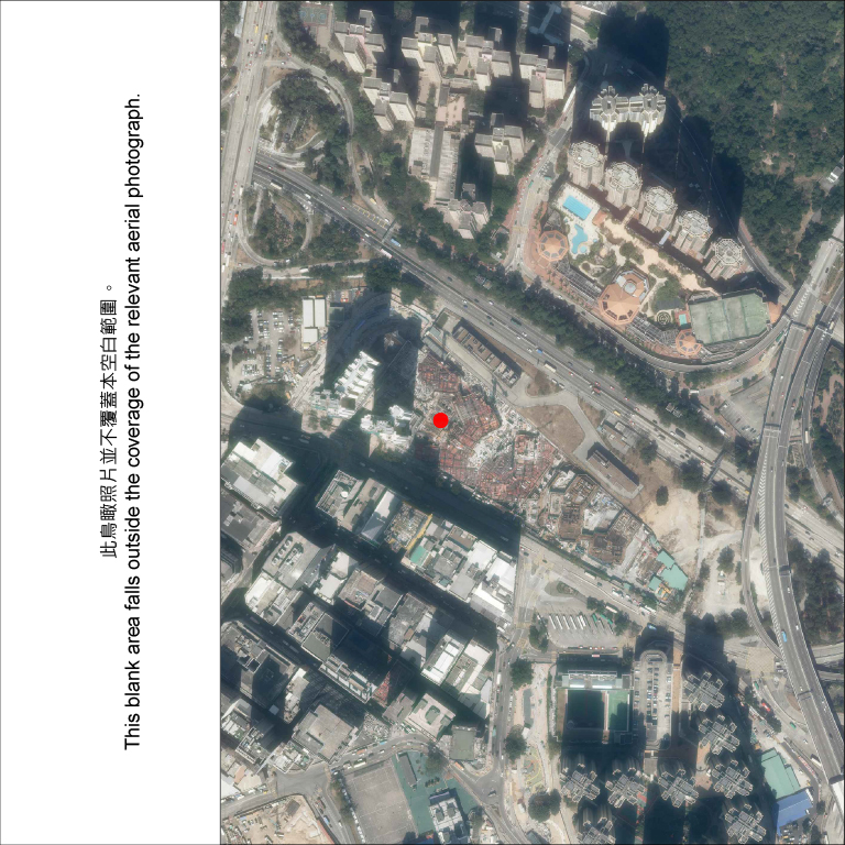
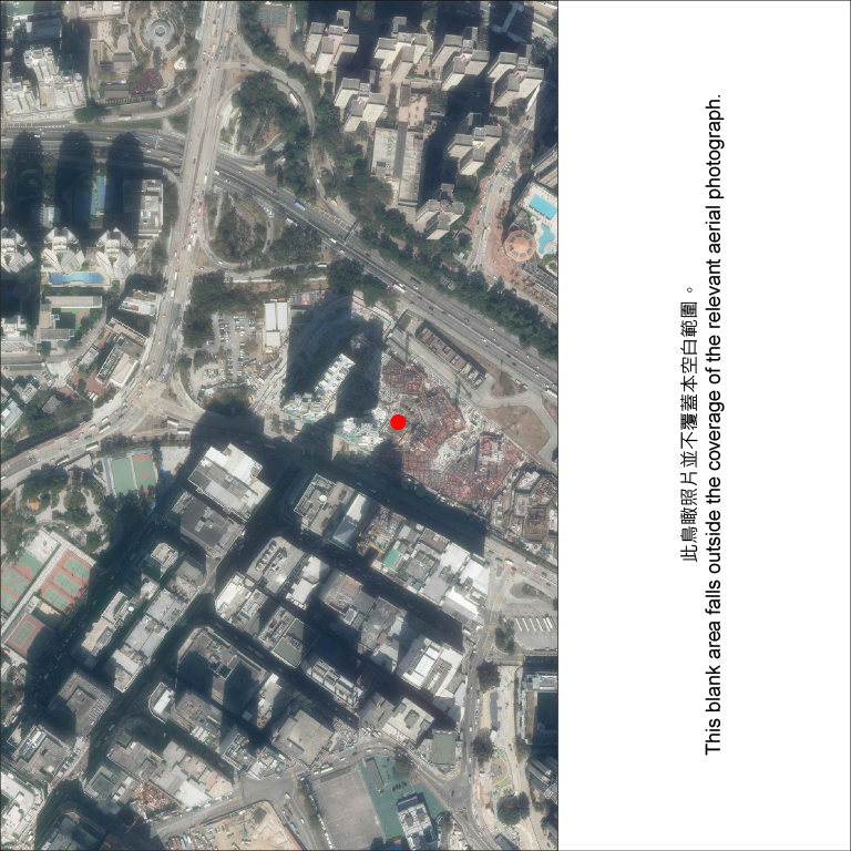
Kai Chuen Court - Aerial Photograph of the Development

Kai Chuen Court
Adopted from part of the aerial photograph taken by the Survey and Mapping Office of the Lands Department at a flying height of 6,900 feet, photo no. E139462C, dated 5 February 2021.
The photograph is provided by the Hong Kong GeoData Store and intellectual property rights are owned by the Government of the HKSAR.

Kai Chuen Court
Adopted from part of the aerial photograph taken by the Survey and Mapping Office of the Lands Department at a flying height of 6,900 feet, photo no. E139460C, dated 5 February 2021.
The photograph is provided by the Hong Kong GeoData Store and intellectual property rights are owned by the Government of the HKSAR.
Notes:
- Copy of the aerial photographs of the Development are available for free inspection during opening hours at the office of the Green Form Subsidised Home Ownership Scheme Sales Unit of the HA.
- The aerial photographs may show more than the area required under the Residential Properties (First-hand Sales) Ordinance due to the technical reason that the boundary of the Development is irregular.
