Kai Long Court - Aerial Photograph of the Development

Kai Long Court
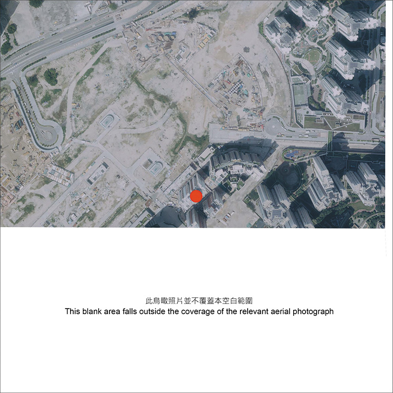
Adopted from part of the aerial photograph taken by the Survey and Mapping Office of the Lands Department at a flying height of 6,900 feet, photo no. E045383C, dated 11 September 2018.
Survey and Mapping Office, Lands Department, The Government of the Hong Kong SAR © Copyright reserved - reproduction by permission only
Notes:
- Copy of the aerial photograph of the Development is available for free inspection during opening hours at the HA Customer Service Centre.
- The aerial photograph may show more than the area required under the Residential Properties (First-hand Sales) Ordinance due to the technical reason that the boundary of the Development is irregular.

Kai Long Court
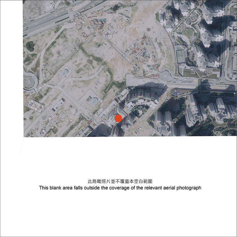
Adopted from part of the aerial photograph taken by the Survey and Mapping Office of the Lands Department at a flying height of 6,900 feet, photo no. E045384C, dated 11 September 2018.
Survey and Mapping Office, Lands Department, The Government of the Hong Kong SAR © Copyright reserved - reproduction by permission only
Notes:
- Copy of the aerial photograph of the Development is available for free inspection during opening hours at the HA Customer Service Centre.
- The aerial photograph may show more than the area required under the Residential Properties (First-hand Sales) Ordinance due to the technical reason that the boundary of the Development is irregular.

Kai Long Court
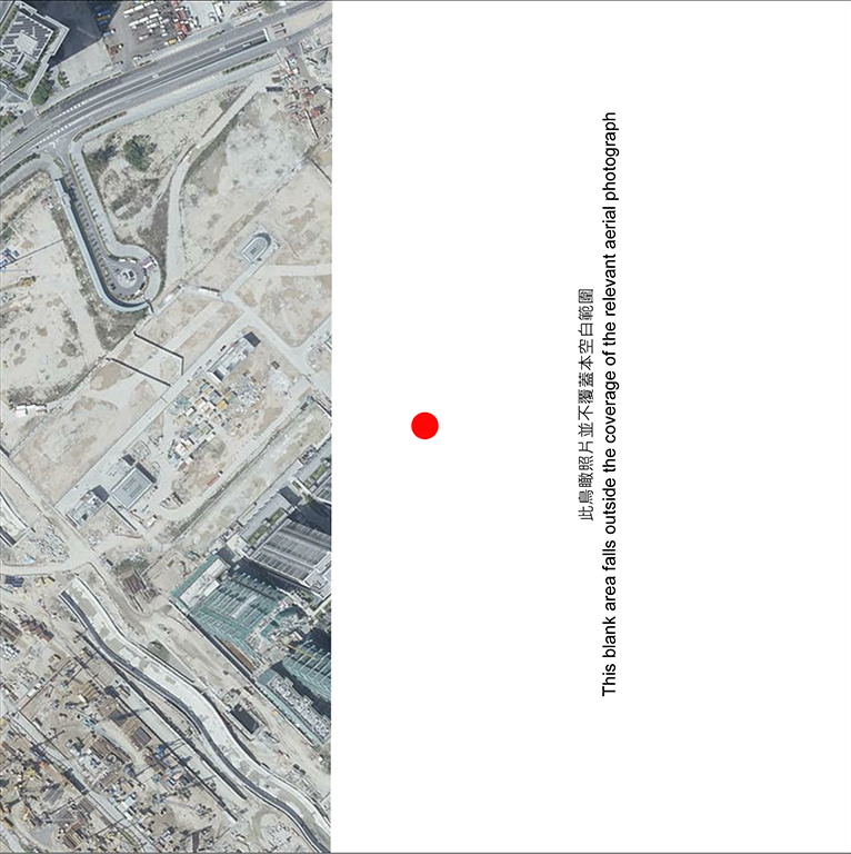
Adopted from part of the aerial photograph taken by the Survey and Mapping Office of the Lands Department at a flying height of 6,000 feet, photo no. E034169C, dated 10 March 2018.
Survey and Mapping Office, Lands Department, The Government of the Hong Kong SAR © Copyright reserved - reproduction by permission only
Notes:
- Copy of the aerial photograph of the Development is available for free inspection during opening hours at the HA Customer Service Centre.
- The aerial photograph may show more than the area required under the Residential Properties (First-hand Sales) Ordinance due to the technical reason that the boundary of the Development is irregular.

Kai Long Court
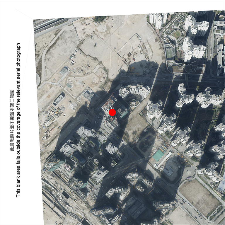
Adopted from part of the aerial photograph taken by the Survey and Mapping Office of the Lands Department at a flying height of 6,000 feet, photo no. E030707C, dated 27 December 2017.
Survey and Mapping Office, Lands Department, The Government of the Hong Kong SAR © Copyright reserved - reproduction by permission only
Notes:
- Copy of the aerial photograph of the Development is available for free inspection during opening hours at the HA Customer Service Centre.
- The aerial photograph may show more than the area required under the Residential Properties (First-hand Sales) Ordinance due to the technical reason that the boundary of the Development is irregular.


